Mount Tipton, Mohave County, Arizona
Located in the BLM Mount Tipton Wilderness, Elevation = 7153 ft.
|
Mount Tipton, Mohave County, Arizona
Located in the BLM Mount Tipton Wilderness, Elevation = 7153 ft. |
||||||||||
|
||||||||||
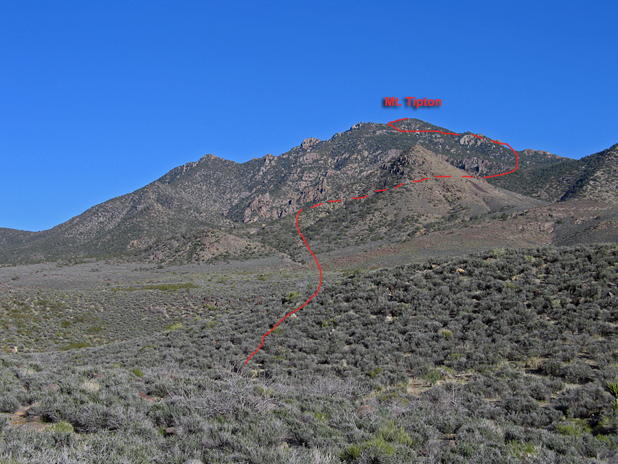
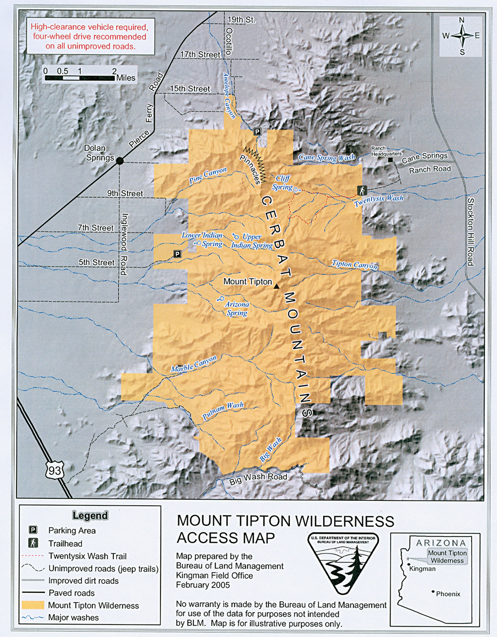
| View of the northwest side of the peak from near Lower Indian Spring on bump 4288 ft. This is the start of the standard and generally easiest route up the peak. The red line shows the approximate route which goes behind peak 5313 ft. It doesn't look like it in this photo but there is a canyon behind peak 5313 which is directly below the summit. The hike is about 2900 ft. of gain in about 3 miles. Allow about 8 to 9 hours round-trip. BLM sheet on Mount Tipton. BLM Mount Tipton Wilderness Map. | ||||||||||
|
||||||||||
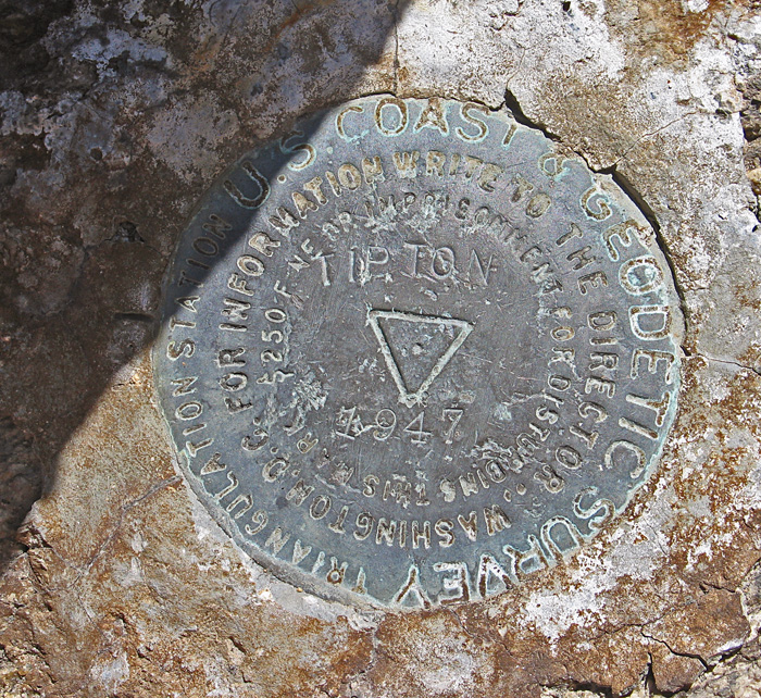
| The primary benchmark at the summit. Placed in 1947. | ||||||||||
|
||||||||||
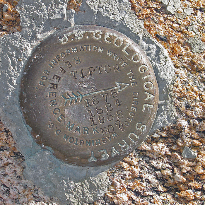
| Reference Mark #2 shows that the peak was surveyed in 1875, 1884, and 1938 as well as 1947. Benchmark datasheet. | ||||||||||