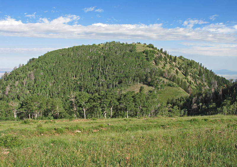
Highpoint of Millard County, Elevation = 10,222 ft. (3116 meters)
Located in the Fishlake National Forest
Driving Directions: Exit I-15 at Fillmore at either exit 167 if coming from the north or exit 163 if coming from the south. Drive into town and follow Main St. until you reach 200 South Canyon Road and turn east. Zero your odometer and note the following mileages:
0.0 at Main St. and 200 South Canyon Road
0.9 turn right (south) onto 700 East Sand Rock Ridge Road. In a short distance this turns to good, graded dirt.
2.0 cross a cattleguard
3.0 Fishlake Forest boundary. This is Forest Road 103 from here on.
4.7 another cattleguard
5.7 start of rougher road with sign. The road is rough for the first couple of miles and improves higher up.
8.0 small camp spot along ridge at 8200 feet. (one of few places to pull off)
10.8 another small camp spot if needed. Some tight switchbacks near the top.
11.4 cattleguard with pull out for parking. Park here for hike to the peak.
Hiking Directions: There is a short descent of about 160 feet and then a gain of about 400 feet through mostly open forest to the summit area. A short distance east is White Pine Peak, 10,215 feet, which can be driven up or is a pleasant walk on roads.