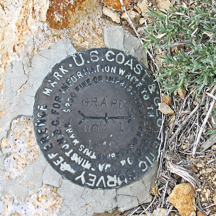
In Death Valley National Park
Elevation = 8743 ft. (2665 meters)
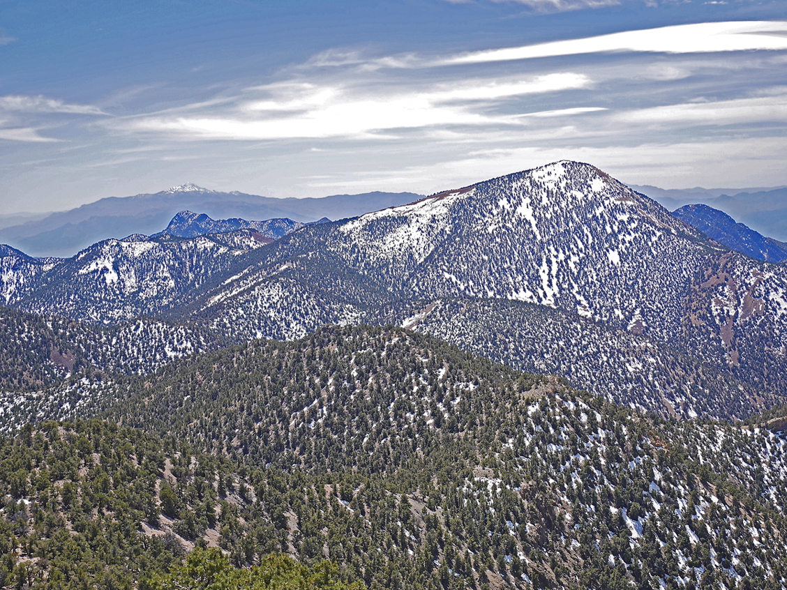
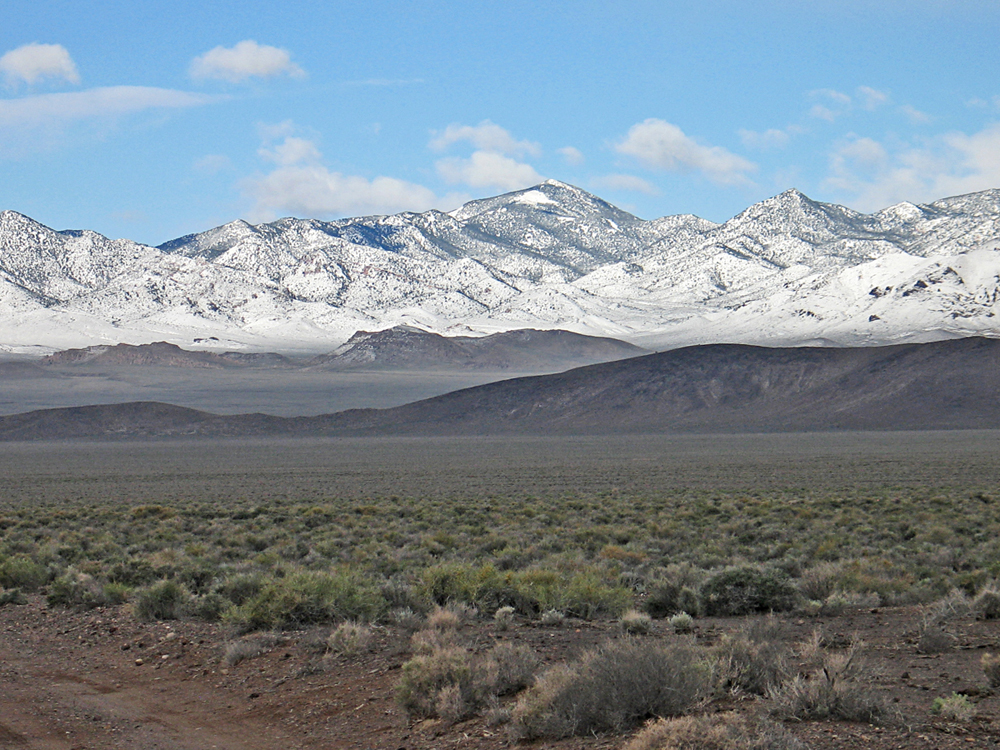
Highpoint of the Grapevine Mountains
Driving Directions: From Beatty drove north on 95 for 11.8 miles and turn left on a dirt road with a gate. This is 0.6 miles north of milepost 71. Reset your odometer here after passing through the gate.
0.0 at gate close to highway 95
6.5 miles, stay left at a fork
7.0 miles, cattle guard and Death Valley Park sign
12.3 miles, go right at a fork
17.2 miles, the road drops into a wash
20.9 miles, pullout for camping on the right, 4WD shortly after this point
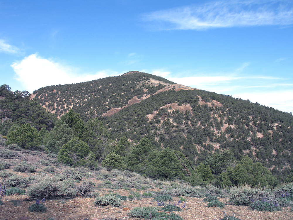
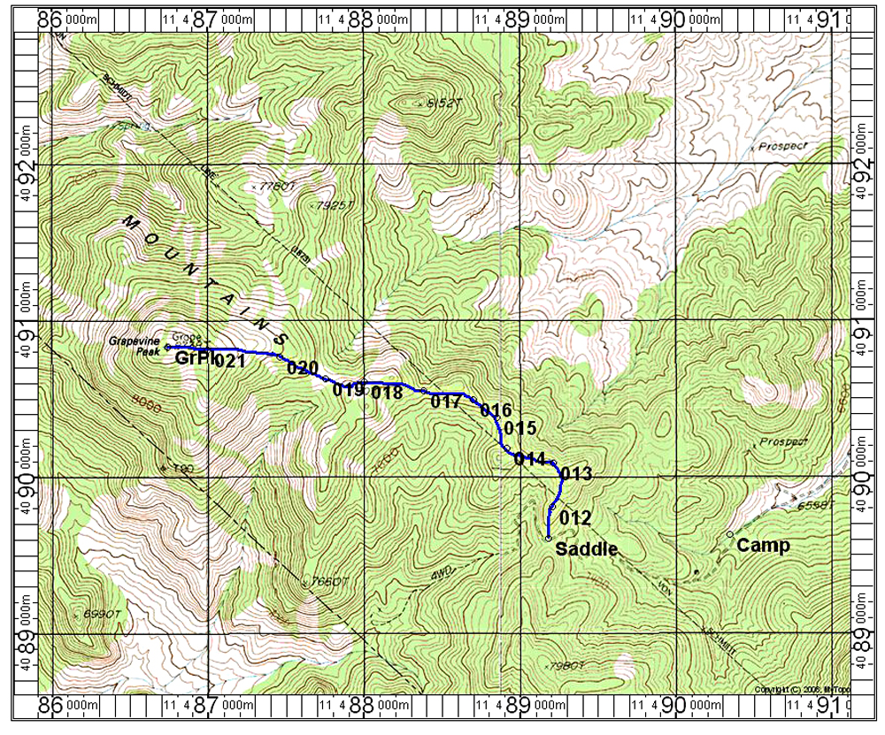
22.0 miles, saddle and end of road. The summit is visible from here on a bearing of 297 deg.
Hiking Directions: From the camp area walk up the road to the saddle at 7500 feet. From here head north along the ridge. You will find some use trails along here and will have to work around some rocks. At point 013 you want to turn west descending to a minor saddle. From there stay along the ridge which has three more dips before the final slopes are reached. The route is 4.8 miles round-trip from the saddle. The total gain counting the dips is about 1700 feet. If you hiked from the camp area this adds 800 feet of gain and about 2 more miles. The hike took 1/2 hour from the camp to the saddle and another 2 1/2 hours to the summit. The return takes about 2 hours to the saddle. 4/14 RLC GPX file with the above points shown on the topo map.