Sandia Crest, 10,678 feet, (3255 m) Bernalillo County, New Mexico
Highpoint of Bernalillo County
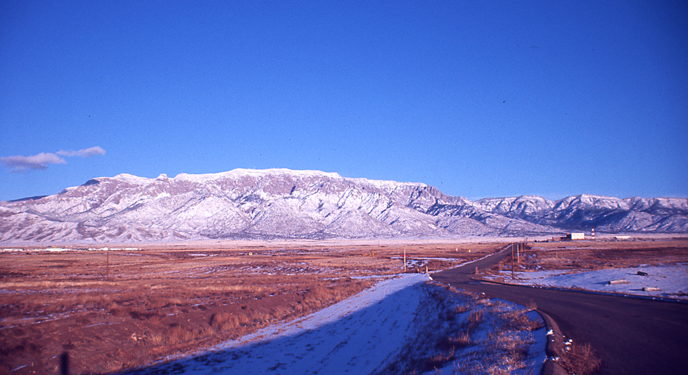
We hiked the La Luz Trail to the summit. At this time of year there was a fair amount of snow on the trail in the upper canyon along the talus slopes. There were good, deep footprints and the snow was not icy so the hiking was not difficult. We reached the top in four hours 5 minutes. The descent took three and a half hours. There is a snack bar, and gift shop at the top which is open all year. This is a really nice, scenic hike. The route is close to 16 miles RT with 3775 feet of gain. There is a $3.00 fee at the parking area or you can use a senior pass instead.
Map of trails at the summit area. PDF file.
