Mt. Kinashi, Japan
Yamanashi Prefecture
Elevation = 5682 ft., 1732 meters
|
Mt. Kinashi, Japan
Yamanashi Prefecture Elevation = 5682 ft., 1732 meters |
|||||||||
|
|||||||||
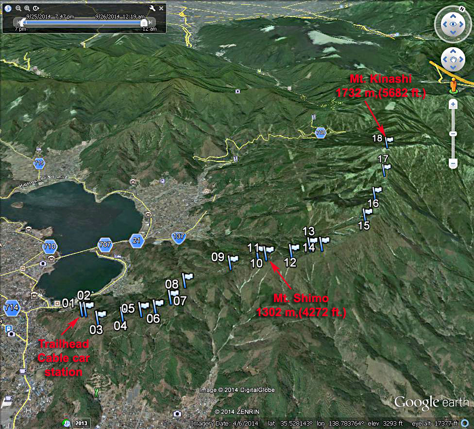
| A Google Earth image looking north at the route to Mt. Kinashi starting from the Kachikachi Yama Ropeway (cable car). The waypoints shown are available as a .gpx file which can be loaded in your GPS receiver. MtKinashi.gpx The hike starts at the top od the cable car station which is easily found along the eastern shore of Lake Kawaguchiko on highway 147. The cable car is a quick way to get up to the mountain trail has has fine views of the lake and Mt. Fuji. The first car is at 9:00 and the last car down is at 17:20 which leaves plenty of time to do the hike. Cost for a round-trip ticket is 720 Yen. There is a website for the cable car. Follow the trail which leaves the eastern end of the viewing area. It goes over a small hill with a stone marker then follws the ridge northeast. See map below which shows the route. Mt. Shimo is a small peak just off the trail at point 11. Further on there is a good viewpoint where a large power transmission tower stands on the ridge at point 14. The trail continues gaining more elevation until Mt. Kinashi is reached by a trail junction. If you have time, which I didn't, it would be worthwhile to go east the short distance to Mt. Mitsutouge which is higher and has better views. This route is 12.7 km, (7.6 mi.) round-trip with a gain of 660 m, (2150 ft.). Allow about two hours to reach the summit. | |||||||||
|
|||||||||
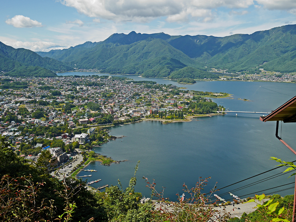
| The fine view looking west over Lake Kawaguchiko from the top of the cable car. | |||||||||
|
|||||||||
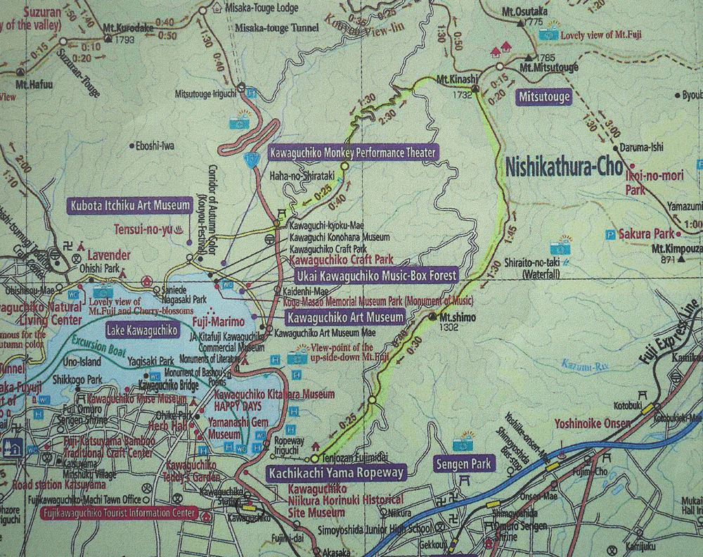
| A portion of a larger map which is available at the Kawaguchiko train station. This shows the hiking trail and many other trails around the lake. Hiking times are shown in both directions. | |||||||||