|
|
|
|
|
|
Kisokomaga-take, Japan
Located in the Central Alps
Elevation = 9698 ft., 2956 meters
|
|
 |
|
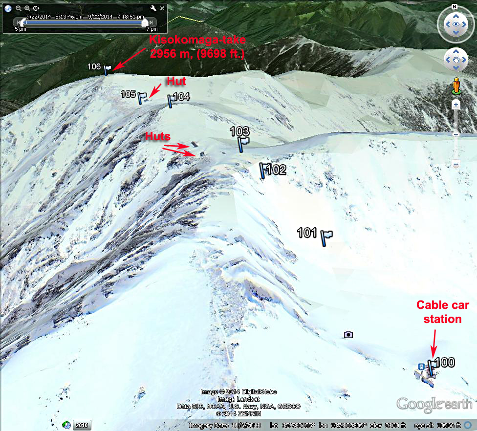
| A Google Earth image of the climbing route starting from the Senjojiki cable car station at 2625 m, (8615 ft.). The waypoints shown are available as a .gpx file which can be loaded in your GPS receiver. Kisokomaga-take.gpx This is a popular climb and the trail is obvious all the way when the peak is clear of snow. Unfortunately this image is with full snow cover so the trail doesn't show. The route is about 1.7 km (1 mi.) one-way with an elevation gain of about 380 m, (1240 ft.). We did the climb in one hour and 20 minutes. |
|
|
 |
|
|
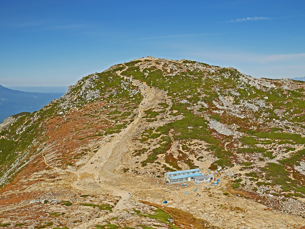
The last part of the trail to the summit. Lots of hikers at the time. At the summit Ontake-san can be seen to the west at a bearing of 292 deg. and it is 32.5 km (19.5 mi.) away. Also, Mount Fuji can be seen when the visibility is good on a bearing of 119 deg. and it is 99.7 km (59.8 mi.) distant. |
|
|
 |
|
|
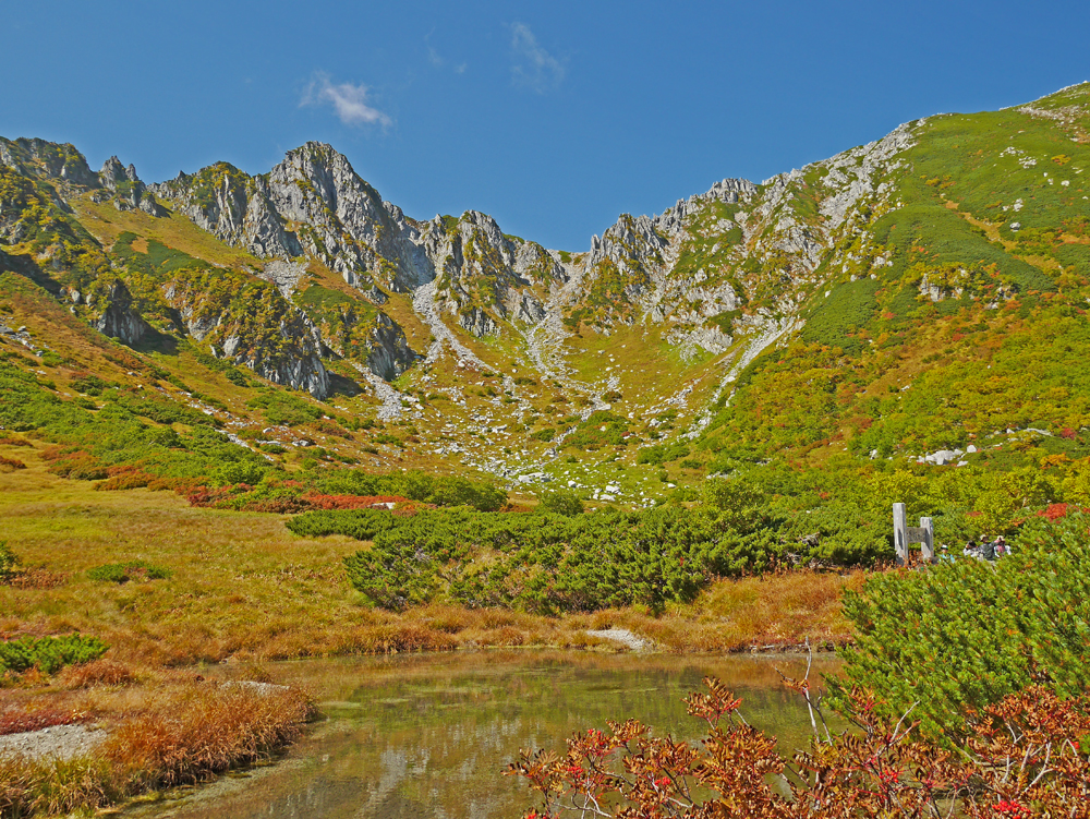
Looking across a small pond north of the cable car station toward the route to the peak. The well-worn trail goes up the gully to the low point in the ridge in the center of the photo. |
|
|
|
Other sources of information about the mountain. The report by Rob Woodall at the Peakbagger.com website was very helpful. Kisokomaga-take report.
Kisokomaga-take is one of Japan's top 100 peaks called The Hyakumeizan. There is a good website with reports on most all of the 100. Kisokomaga-take at Japanhike.
|
|
|
| Transportation to the Mountain - This website describes various ways to get to the town of Komagane and the Komagatake Ropeway (cable car). Komagatake Ropeway. There is a schedule for the bus service from the Komagane rail station to the Shirabi-daira ropeway station and the hours for the ropeway itself here: Timetable The bus and ropeway fares are shown on this page: Bus & ropeway fares |
|
|
|
|
|
|
|
|
|
|
|
|