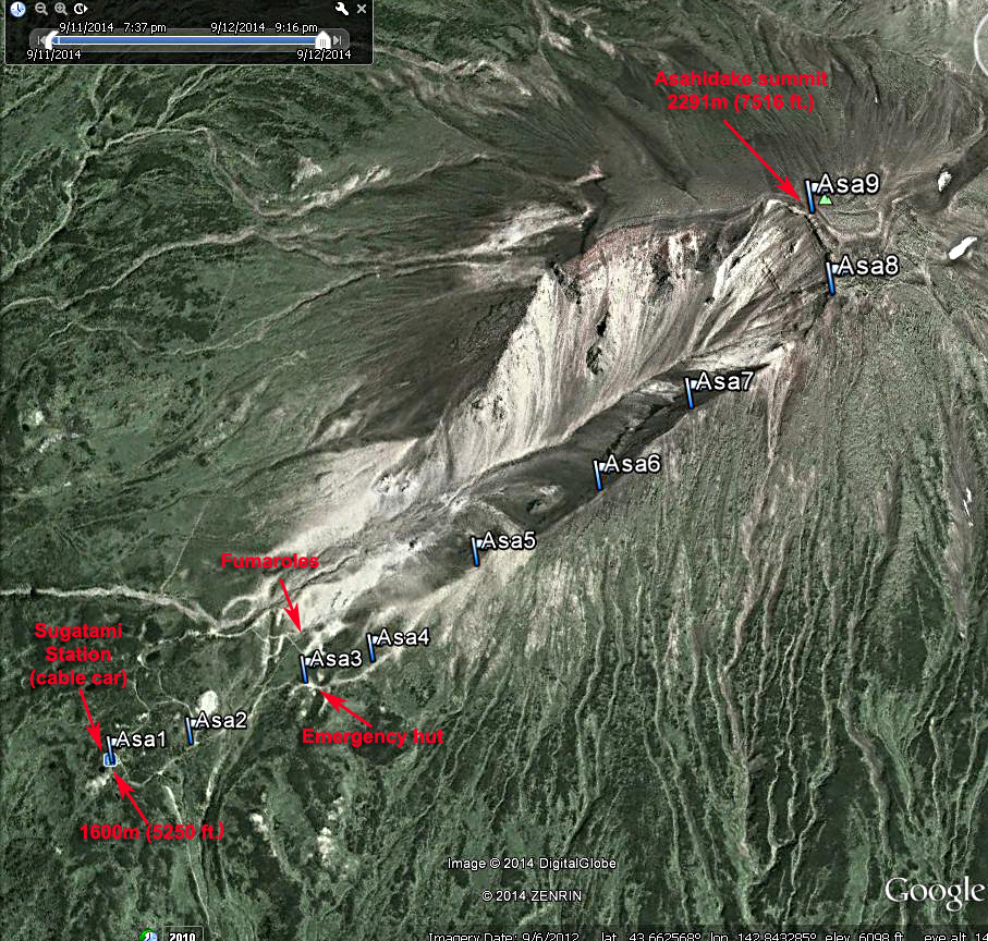
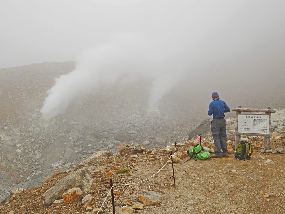
Asahidake, highpoint of Hokkaido, Japan

Located in Daisetsuzan National Park

Elevation = 7516 ft., 2291 meters

A Google Earth image of the climbing route on the southwest side of the mountain. The route starts at the Sugatami cable car station and after going through some vegetation it follows the barren ridge. The climb is about 2.5 km (1.5 mi.) one-way with an elevation gain of 700 m (2300 ft.) Allow about 2 hours for the climb and 1 1/2 hours to go down. The waypoints shown are available as a .gpx file which can be loaded into a GPS receiver. Asahidake.gpx
The ropeway (cable car) goes up 500 m in about 8 minutes. It runs year-round and was 2900 Yen for a round-trip ticket in September 2014. The Sugatami station at the top of the ropeway. There is a snack bar and restrooms here. The shrubs turning red are the nanakamado (Japanese Rowan).
Shelley and I make it up through the fog to enjoy some views to the east . This is the summit marker. There were dozens of climbers on a September Saturday. Two fumaroles continuously spout steam near the Sugatami Pond above the ropeway station. Fascinating! It is worth a short detour to see it.
Transportation to the Mountain - There are three buses a day that run from the front of the JR train station in Asahikawa to the Asahidake Ropeway Station. The trip takes 1 1/2 hours and costs 1430 Yen each way. The bus always stops at the airport so you could fly in and go to the mountain without going to the town. There is accomodation at the park. From the airport to the Ropeway Station the fare is 1000 Yen. The schedule as of September 2014 is reproduced below.
Asahikawa Station Asahikawa Airport National Park Entrance Asahidake Ropeway Station
9:30 10:05 10:36 10:56
12:30 13:05 13:36 13:56
15:30 16:05 16:36 16:56
Asahidake Ropeway Station National Park Entrance Asahikawa Airport Asahikawa Station
11:15 11:35 12:05 12:41
14:15 14:35 15:05 15:41
17:15 17:35 18:05 18:41