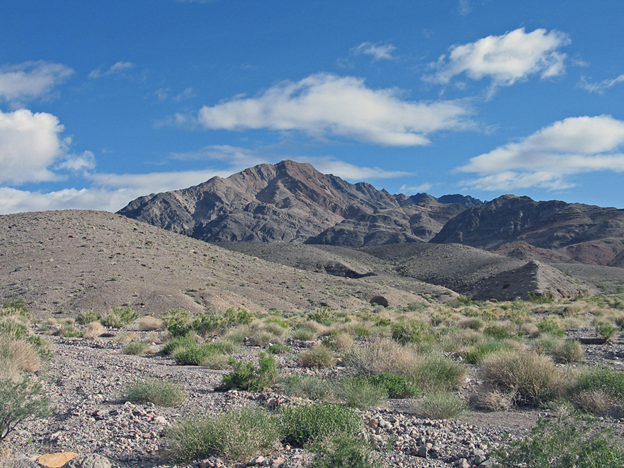
In the Amargosa Range, Funeral Mountains in Death Valley National Park
Note: The following driving route done in 1994 is no long possible since a wilderness boundary limits travel in on the road to the Red Amphitheater to 6.1 miles. You could hike from there, but it would be a longer hike. The road now ends at: 528317E, 4028930N, NAD27.
From the junction of highways 190 and 178 at the Furnace Creek Inn take 190 SE for 5.4 miles to the dirt road leading to the Red Amphitheater. Reset your odometer and turn left onto this road. The road is good for 3.7 miles to the Hole-in-the-Wall and then it becomes rougher and 4WD is advised. Continue east and then gradually north into the area of the Red Amphitheater. The road will come close to a bluff on your left shown as point 3756 ft. and then turn NW which is different from what is shown on the topo. The road which did go to the NE at this point is non-exsistent. Stop at about 9.1 miles in a broad wash and park. Coordinates here are 529335E and 4032140N, NAD27. The road ends after about 10.5 miles in a narrow canyon. In "Death Valley Jeep Trails" by Roger Mitchell there is a description of driving this route on p. 9-10. 12/94 RLC