Mt. Shasta, 14,162 ft. (4317 m), Siskiyou County, California
Highest point in Siskiyou County and of the Cascade Range in California
Equipment List - Good for Mt. Shasta or other similar peaks (Mt. Hood, Rainier, etc.). pdf file
|
Mt. Shasta, 14,162 ft. (4317 m), Siskiyou County, California
Highest point in Siskiyou County and of the Cascade Range in California |
|||||||||
|
|||||||||
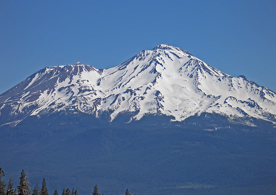
| A view of the west side of Shasta. This was a particularly heavy snow year. Most climbers go up the broad gully shown below the summit. Photo taken July 3, 2010. | |||||||||
|
|||||||||
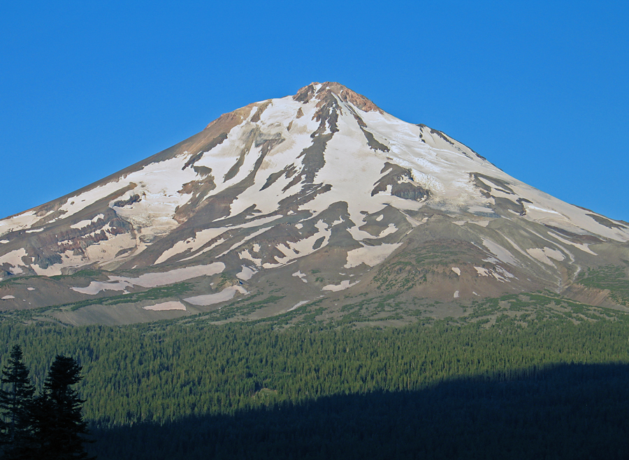
| The east side of Shasta after a year with much less snowfall. This is from the slopes of Ash Creek Butte. Photo by Richard Carey on August 28, 2005. | |||||||||
|
|||||||||
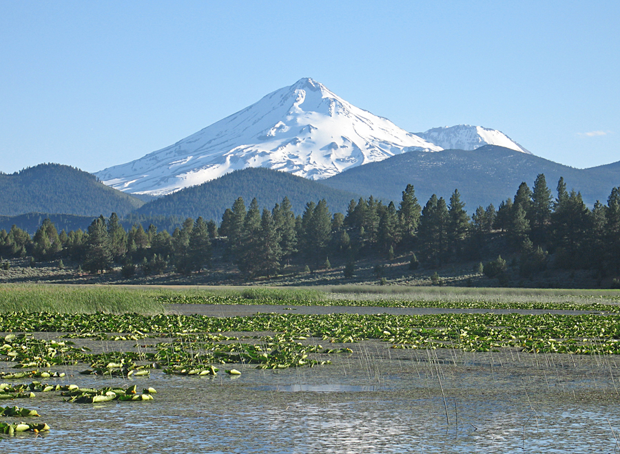
| The north side of Mt. Shasta looking across Orr Lake. Photo taken July 3, 2010. | |||||||||
| So you want to climb Mt. Shasta - A Forest Service four-page document with information on doing the climb. Well worth reading. pdf file
Equipment List - Good for Mt. Shasta or other similar peaks (Mt. Hood, Rainier, etc.). pdf file |
|||||||||