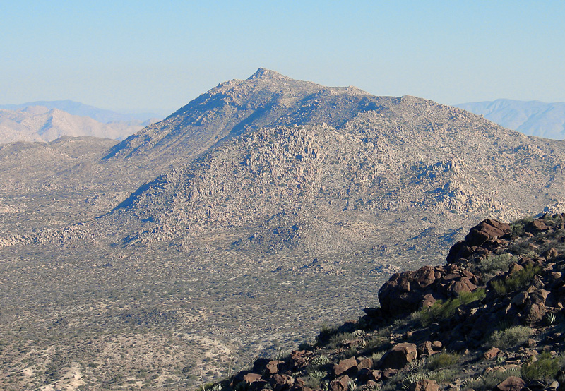
The hike from the south is the shortest route, but entails a long drive on poor dirt roads to the trailhead. A four-wheel drive vehicle is recommended. On Interstate 8 get off at the In-Ko-Pah exit and head south to an intersection and turn right (south) toward Jacumba. After 0.9 miles turn off right onto a good dirt road and drive 0.6 miles and make a right turn and go under the freeway. Reset your odometer here and note the following junctions: Go right at a fork in 0.3 miles. At 0.6 miles pass mine ruins on your right . At 0.85 miles go left at another junction and at 1.7 miles go far left at a three-way fork. Go to the left side of the first radio tower and go right at the gate in front of the second tower. At 3.3 miles turn left at a "T" intersection. At 4.0 miles go straight and at 5.0 miles turn left at a junction. In about 100 feet there is a turn to the right to an old quarry which is the traditional start for the climb. If you want to get a little closer go straight ahead at this junction and straight at another junction in a short distance. Follow the road as it curves around the mound with the quarry until the road ends at 6.1 miles by a boulder with fire ring. UTM here is 578320E, 3616380N. The summit is visible from here and is 0.97 miles on a bearing of 004 degrees. The climb proceeds to the ridge to the northeast and then over two false summits to the top. It takes about one hour to the top with a gain of 1150 feet. 1/00 RLC