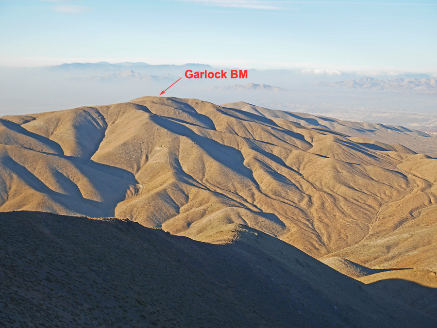
Located on BLM land in the El Paso Mountains
Driving Directions: Follow Garlock Road west from route 395 for about 9.1 miles. When you see an intersection with Randsburg Red-Rock Road on your left go about another 1.3 miles to a sign on your right for BLM road EP100. If you are driving from the west from highway 14 this turn is about 12.7 miles. Reset your odometer and drive north on the good to fair dirt road. After 3.4 miles in Mesquite Canyon turn left at a sign marking route EP207. This road has some steep sections and a lot of rock and four-wheel drive is advised. In 0.4 miles there is a flat camping area at some mine tailings. Keep going and go right onto EP204 at a junction in the narrow canyon. In 1.1 miles you reach a flat ridge top with some mine pits. The Walsh Cabin can be seen on your left. Go right staying on EP204 and it will lead to the summit in another 1/2 mile. There is plenty of room to camp at the summit. EP204 continues from the summit making a loop back down to road EP100 at a point 0.2 miles further north from your first turnoff point.