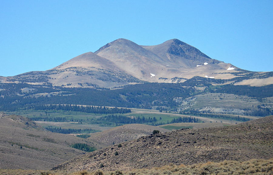
In the Toiyabe National Forest on Hoover Wilderness Boundary
The peak has 1354 ft. of prominence
The peak is located in the Bridgeport Ranger District of the Toiyabe National Forest. The boundary line of the Hoover Wilderness runs through the summit. Permits are not needed for dayhikes to the summit. The nearest Forest Service office is at: P.O. Box 595, Bridgeport, CA. 93517 Phone: (760) 932-7070.
To reach the peak take the Virginia Lakes Road west at Conway Summit which is 12.7 miles south of Bridgeport on route 395. As indicated in the summit register, many climb the southeast slopes up from the area near the resort, however a longer but less steep route is described here. After driving west on the paved Virginia Lakes Road for 4.5 miles turn right (N) on forest road 020 and drive on this graded dirt road for 0.8 miles to a junction with a road going east on top of a broad ridge. Park here on the east side of the road. The UTM here is: 304090E, 4215740N (NAD27). The true high point is not visible from this point which is on the Lundy, 7.5 minute map. Hike west through the forest and up the slope to the first false summit which is a minor black rock outcropping. Continue up the easier slopes past a stake recently placed which marks the south corner of sections 31 and 32. Then go most of the way up to point 11,712 which you can contour around to a saddle below the east summit. There is some steeper, loose rock on this slope. Again go nearly to the top and contour right at which point the flat top of the true summit can be seen. The last slopes up to the high point and register at the north end are moderate. This route is close to 2.5 miles each way with a gain of about 2600 ft. Allow 3 to 3 1/2 hours for the ascent and 2 1/4 hours to descend. 7/96 RLC