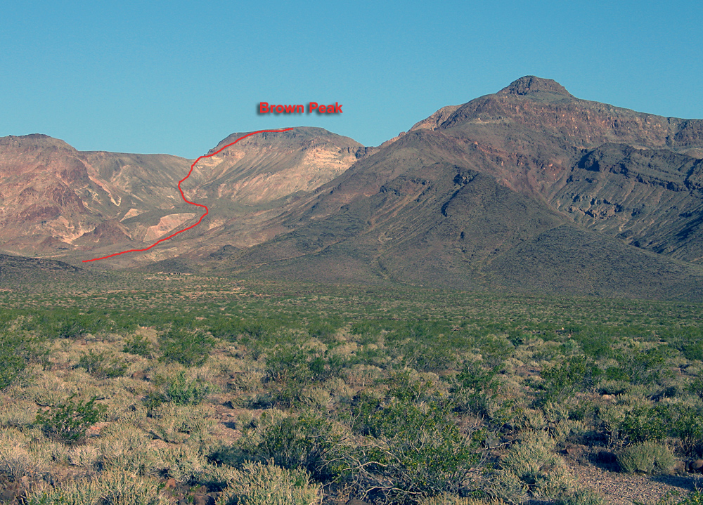
Brown Peak, 4947 ft. (1508 m), Inyo County, California
Located in Death Valley National Park
|
Brown Peak, 4947 ft. (1508 m), Inyo County, California
Located in Death Valley National Park |
||||||||
|
||||||||
| A view of the east side of Brown Peak on the hike starting from near milepost 24 on highway 127. The route is shown by the red line. The peak is also climbed by a shorter route from Deadman Pass on the north side. This route described here, although longer, starts from a paved road. Photo taken May 8, 2010. | ||||||||
|
||||||||
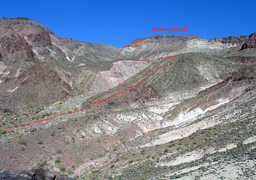
| The route higher up on the mountain which goes fairly well. There are some loose slopes on the last part up to the saddle below the summit. This route is 10.8 miles round-trip with a gain of about 3100 feet and it took 4 hours to the top and 3 1/2 hours to return. | ||||||||
|
||||||||
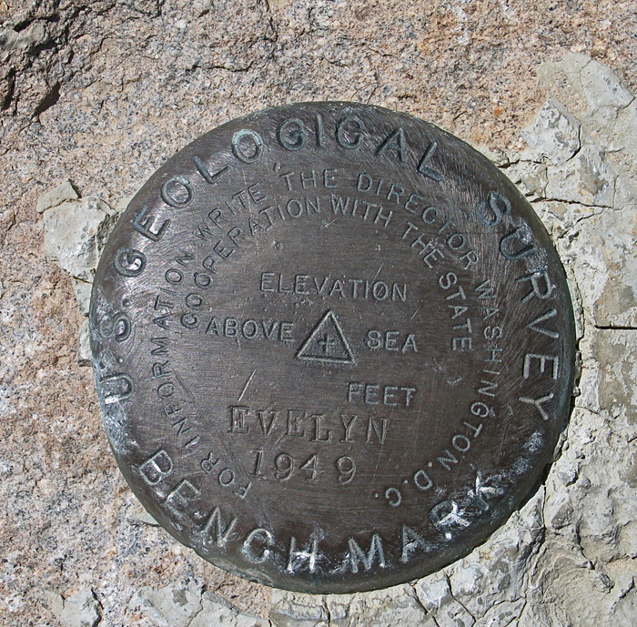
| The benchmark at the summit which is not named Brown, but Evelyn! Placed by surveyors in 1949. | ||||||||