Caliente Mountain Lookout, San Luis Obispo County, California, Elevation = 5106 ft.
The summit is state land, most of the mountain is on BLM land
|
Caliente Mountain Lookout, San Luis Obispo County, California, Elevation = 5106 ft.
The summit is state land, most of the mountain is on BLM land |
|||||||||||
|
|||||||||||
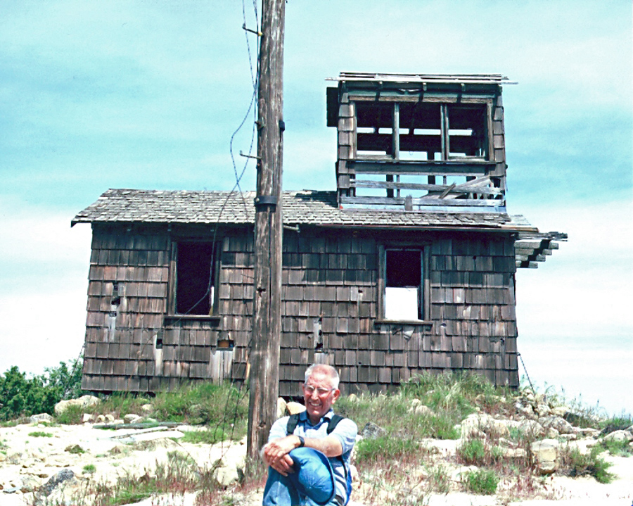
| This building may have been used as a plane spotting site during World War II as well as for fire lookout service. It has been abandoned for many years. Pritchard (Pete) White is in the photo. Photo by Fred Johnson May 14, 1986. | |||||||||||
|
|||||||||||
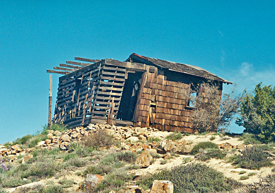
| Photo of the lookout building from a hike in April 2001. The prominence value for the peak is 2231 feet. | |||||||||||
|
|||||||||||
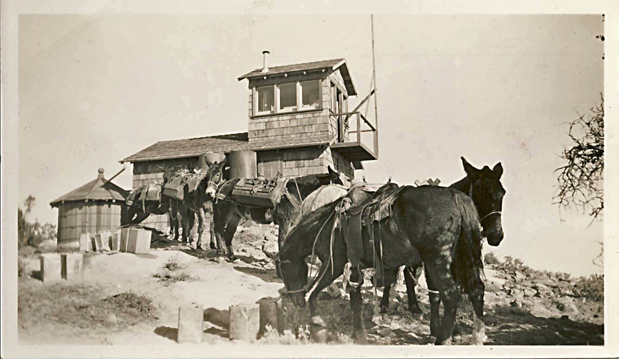
| Thanks to Craig R. Carey for providing this unique photo of the lookout in 1943. | |||||||||||
|
|||||||||||
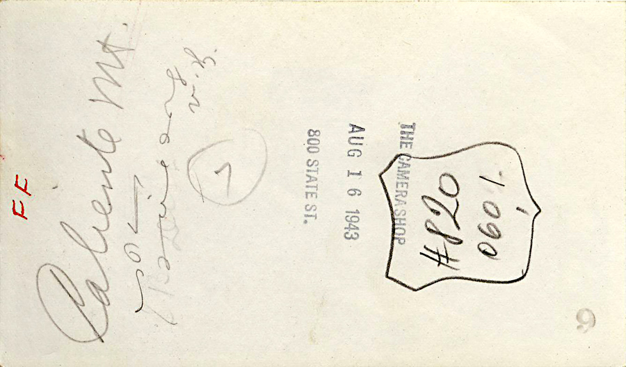
| The rear of the above photo which shows a date of August 16, 1943. Possibly a processing date and not the exact date of the photo. | |||||||||||
|
|||||||||||
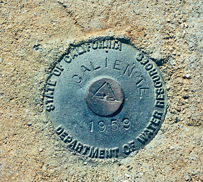
| Benchmark Caliente at the summit. Datasheet for the USGS benchmark which I did not find. | |||||||||||