On the Trinity and Shasta County lines, California
Located on BLM land, Elevation = 6977 ft.
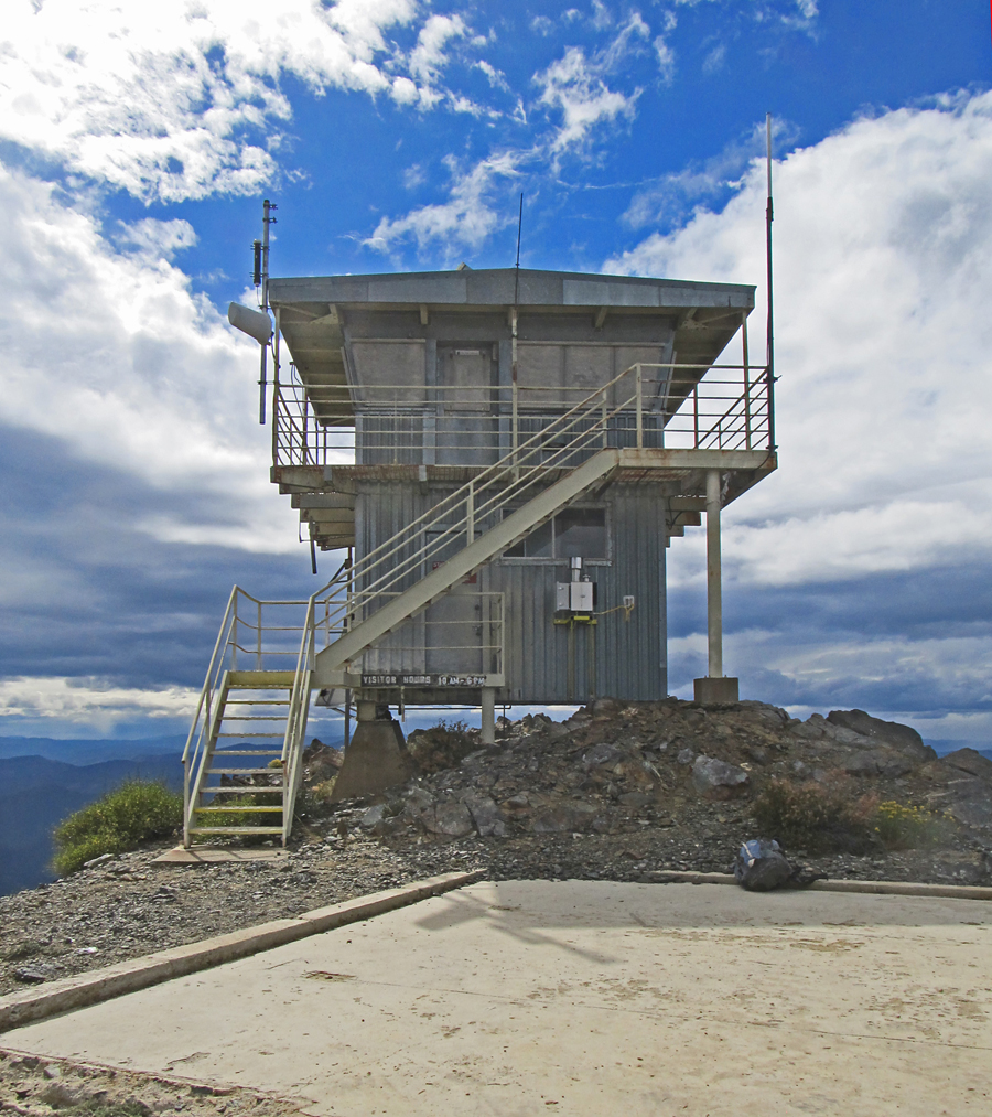
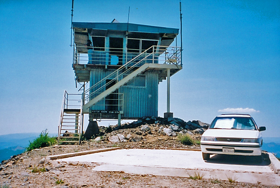
The name derives from the Winton Indian phrase "Bo-li Chu-ip" which means "high sharp peak". (Gudde, p. 21) The structure is a 14 foot square standard 732-6A cab on a 10 foot high enclosed steel tower. It was built in 1978 and replaced an older structure dating from the 1930's. This lookout is on the National Historic Lookout Register #300.
The lookout has a commanding view of the area with a prominence value of 3136 feet. It can be reached via a 14 mile dirt road from the north starting at Buckhorn Summit on highway 399. The road is called East County Line Road. There is a driving description at the Peakbagger site. Bully Choop drive-in.
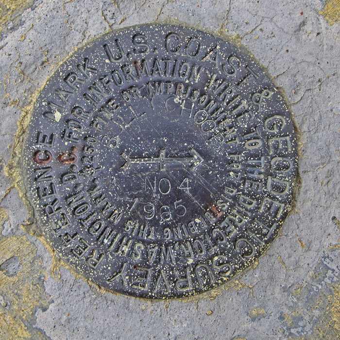
Reference Mark #4 is the only benchmark that can be found around the lookout. Datasheet: LU2079