|
|
|
|
|
|
|
Bhutan, Land of the Thunder Dragon
These photos are from a road trip in Bhutan in October, 2005. The trip was mostly driving with a bit of hiking. It was organized by veteran traveler Rich Henke and our guide in Bhutan was Hishey Tshering. Hishey has a travel company based in the capital, Thimpu, called Bhutan Heritage Travels.
|
|
 |
|
 |
|
|
The national flag of Bhutan. |
|
|
 |
|
|
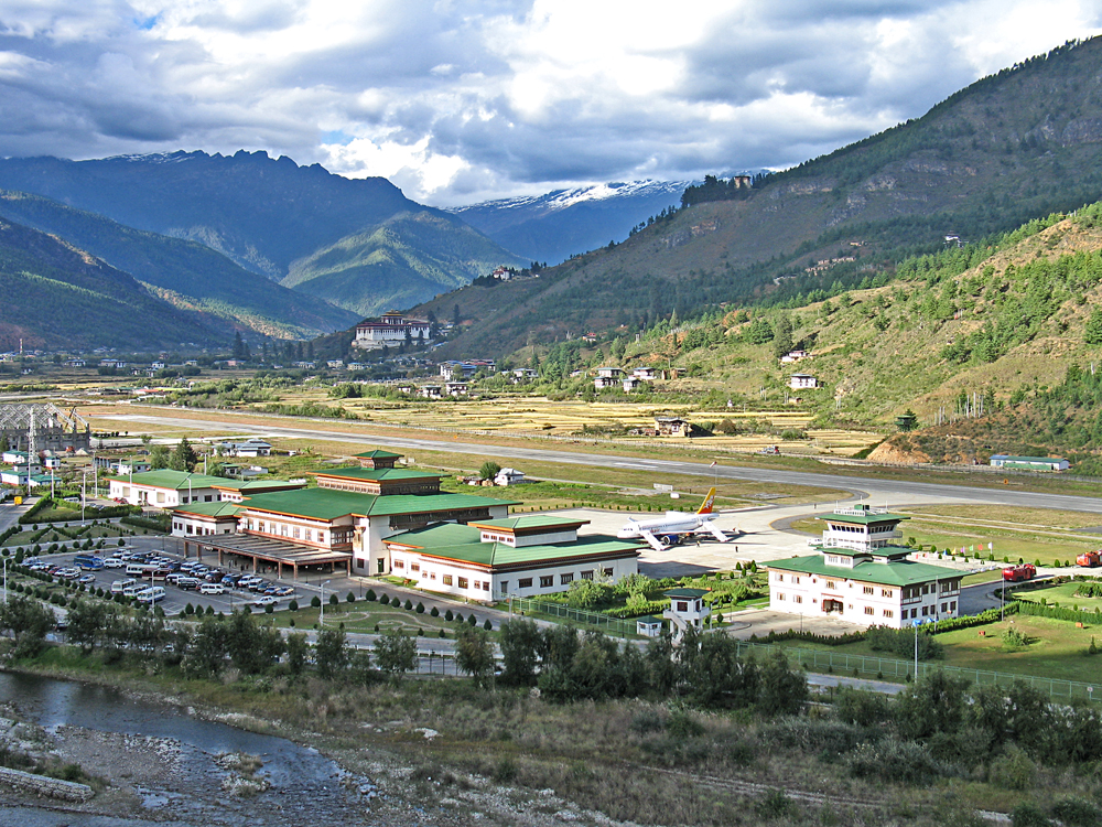
Bhutan is very mountainous and has only one major airport in the western part of the country at the town of Paro. |
|
|
 |
|
|
|
|
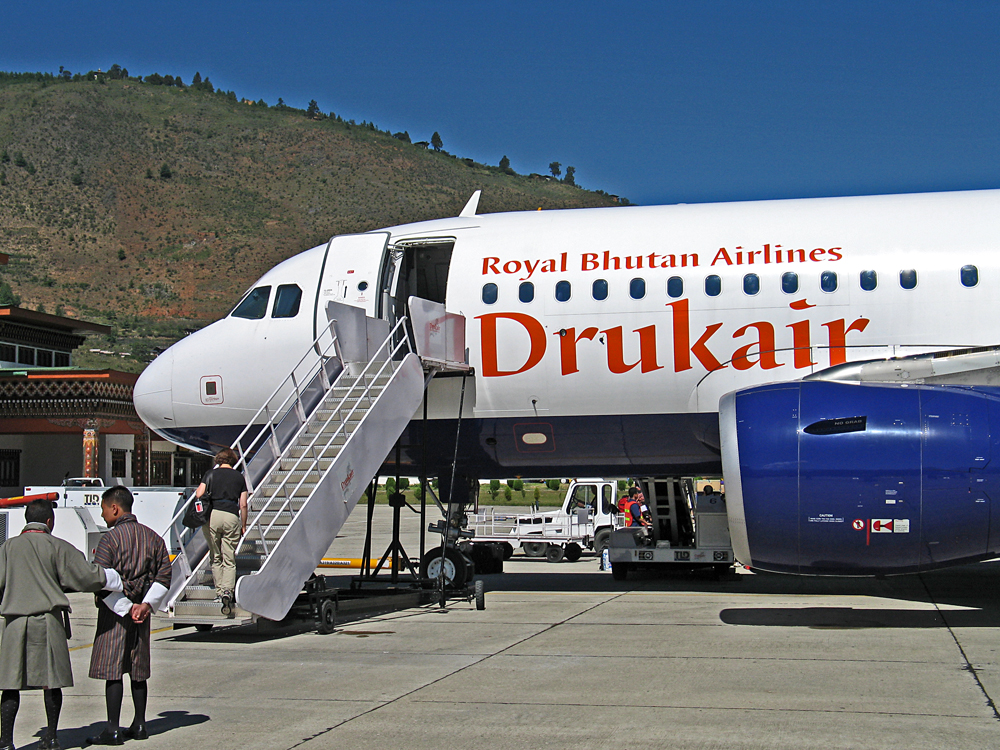
Drukair is the national airline with flights from Bangkok and Kathmandu at that time. |
|
|
 |
|
|
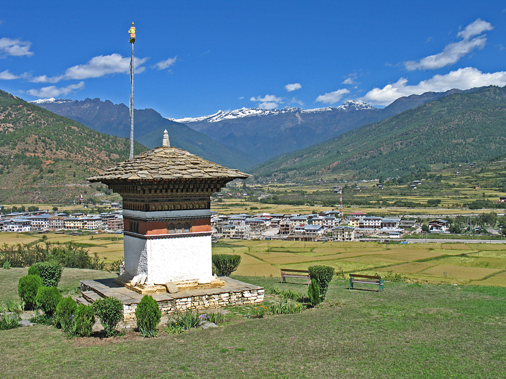
View looking northeast at Paro from our hotel called the Gangtey Palace. |
|
|
|
|
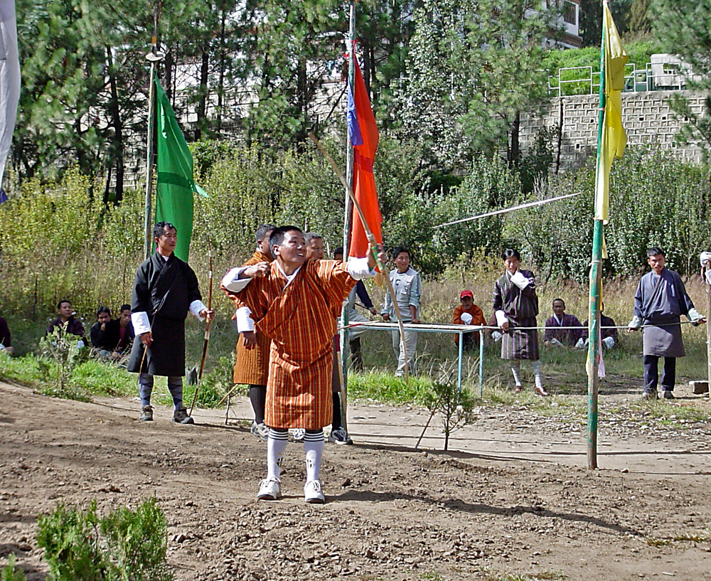
Archery is a popular national sport and is often seen on grounds in the capital Thimpu. Photo by Gary Craig. |
|
|
 |
|
 |
|
|
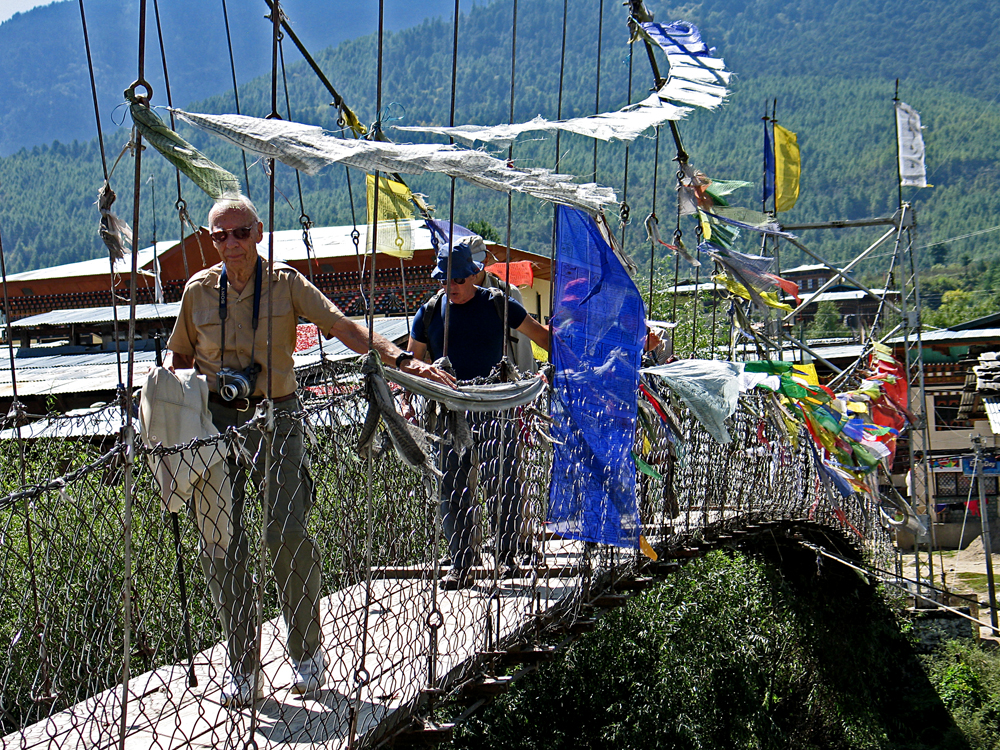
Crossing a footbridge north of Paro. Buddhist prayer flags are often hung from bridges and shrines at mountain passes. |
|
|
|
|
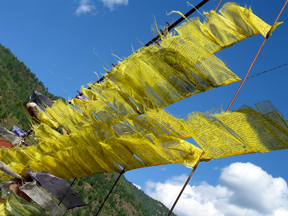
Prayer flags on another bridge. |
|
|
 |
|
 |
|
|
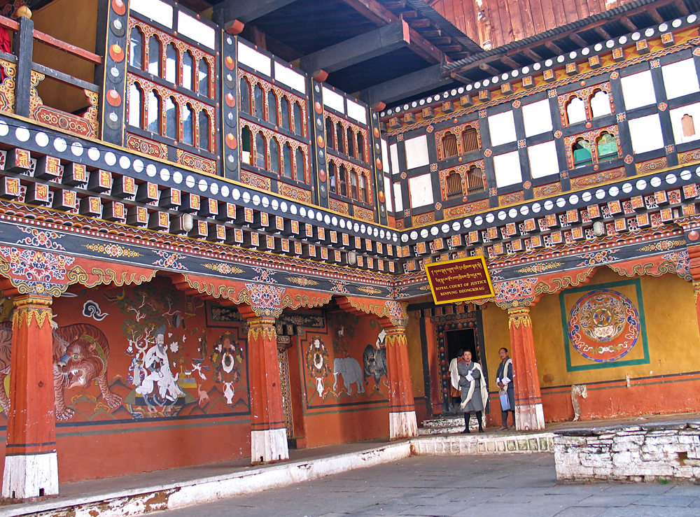
Fantastic detail on the Royal Court of Justice in the Rinpung Dzongkhag, an administrative district, |
|
|
 |
|
|
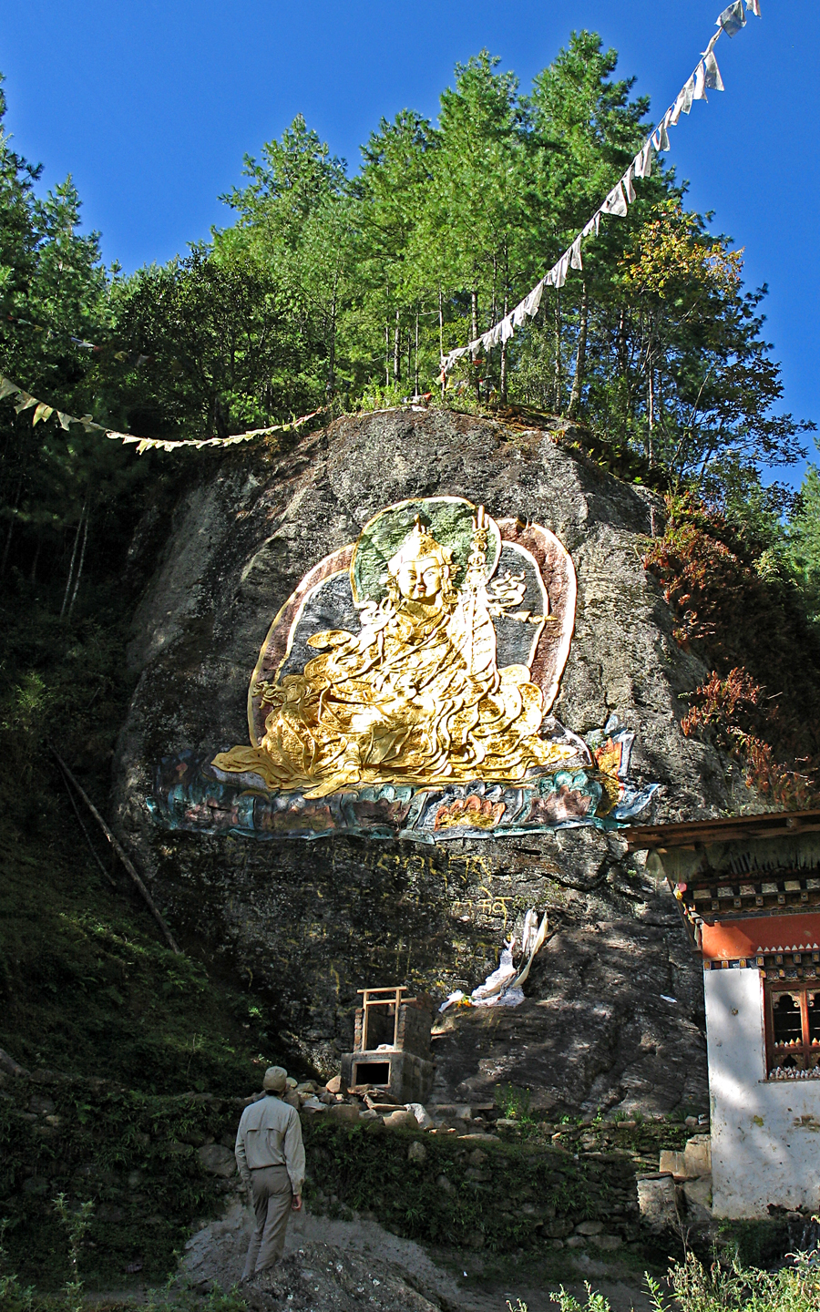
Carving in stone somewhere on the road north of Paro. |
|
|
 |
|
|
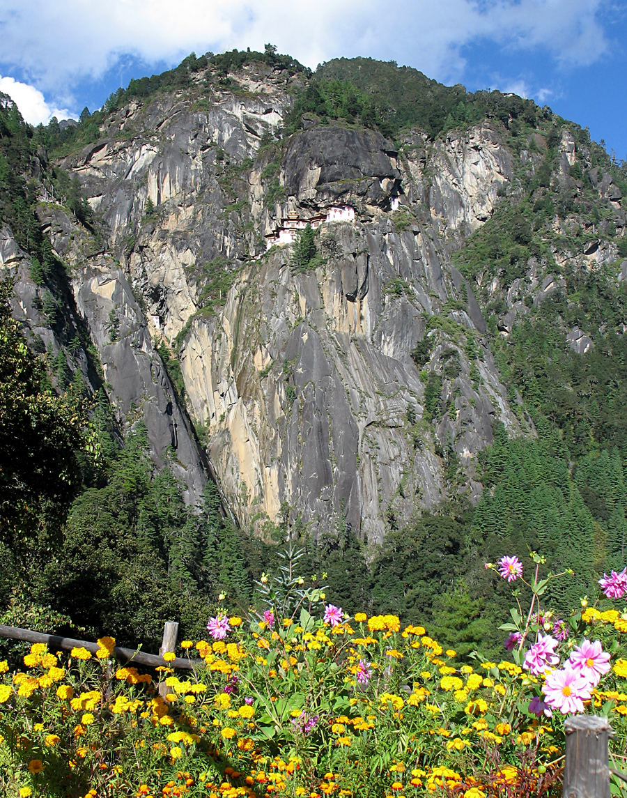
A view of the Taktshang Monastery high up on the side of a cliff on the east side of the Paro Valley. The structure is at 2950 meters (9,678 feet) elevation. |
|
|
|
Go to the bottom of this page to see a photo of Taktshang in about 1990, before it was rebuilt. |
|
|
|
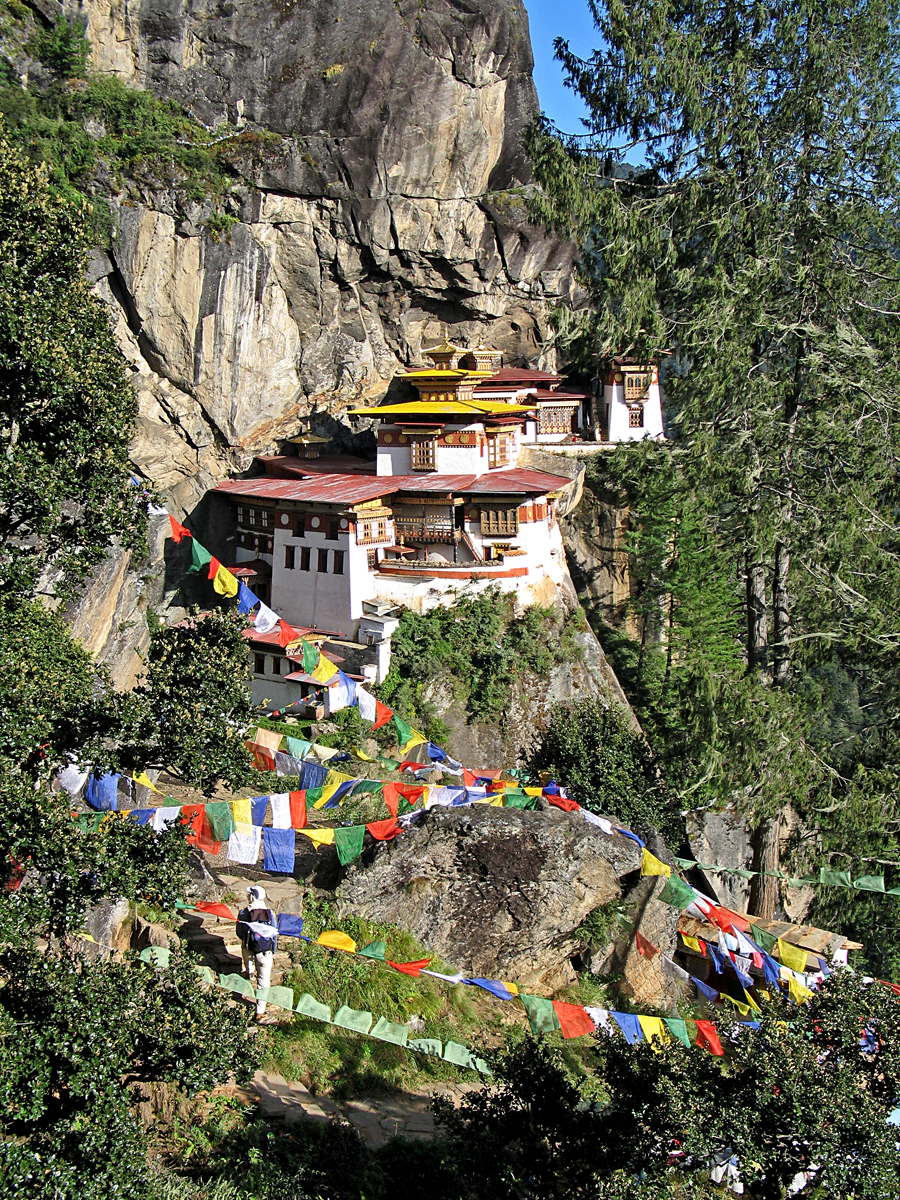
After a steep hike one is rewarded with an amazing view of the monastery also called the "Tiger's Nest". |
|
|
 |
|
|
|
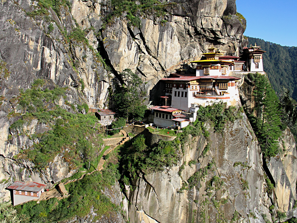
Another spectacular view of Taktshang.The monastery was rebuilt after a disasterous fire of mysterious origin on April 19,1998. The structure was completely rebuilt and reopened in a ceremony on March 17, 2000. |
|
|
 |
|
|
 |
|
|
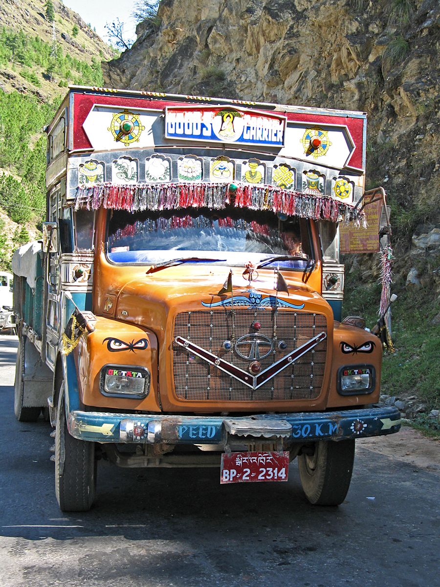
Colorful truck on the roads in Bhutan. |
|
|
|
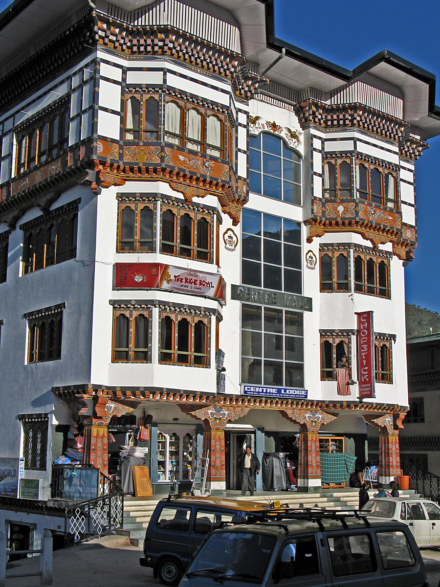
A lodge and shops in a modern building in Thimpu. |
|
|
|
 |
|
 |
|
|
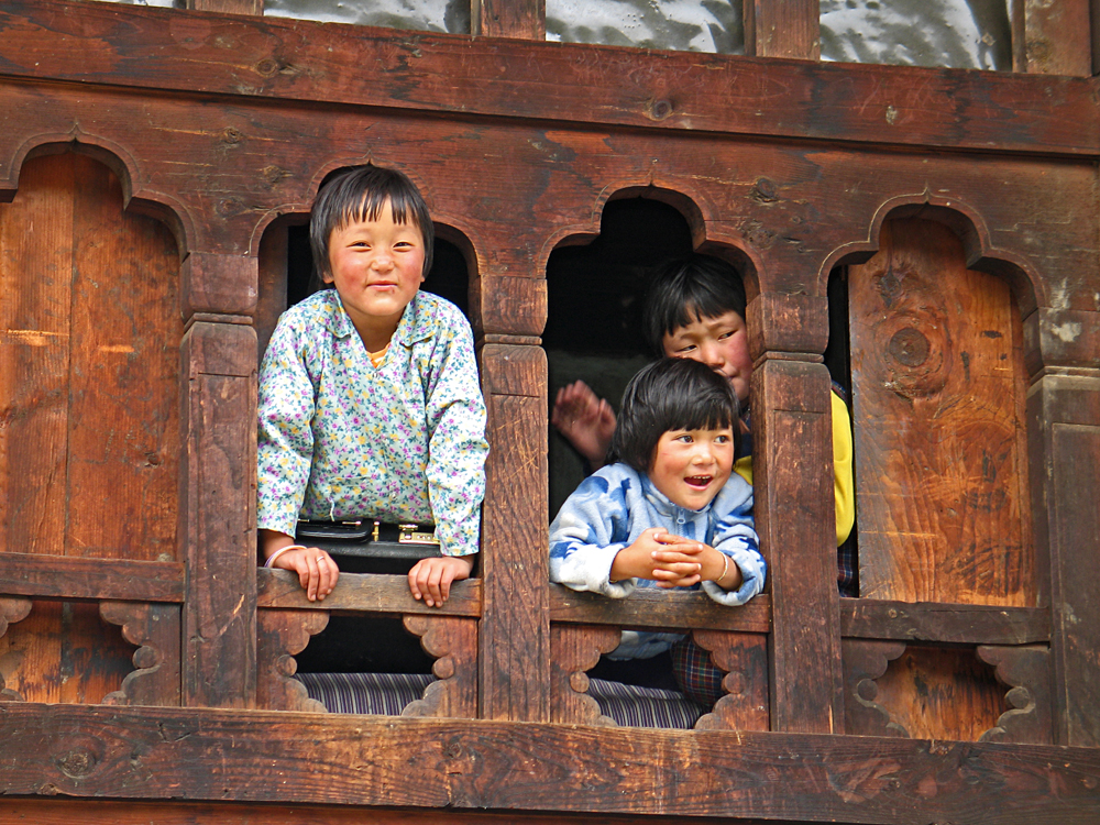
Boys having a good time looking at tourists. |
|
|
|
|
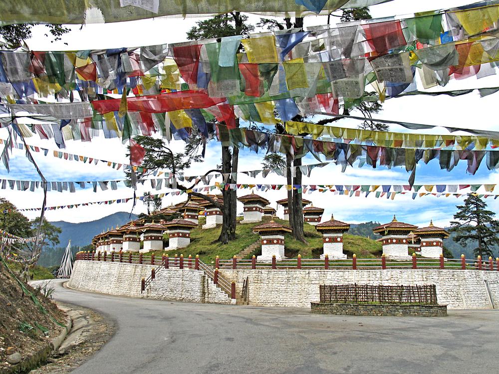
At Dochu La, a pass which is 3140 meters (10,300 feet) on the main highway to Punakha, east of Thimpu. |
|
|
|
|
 |
|
|
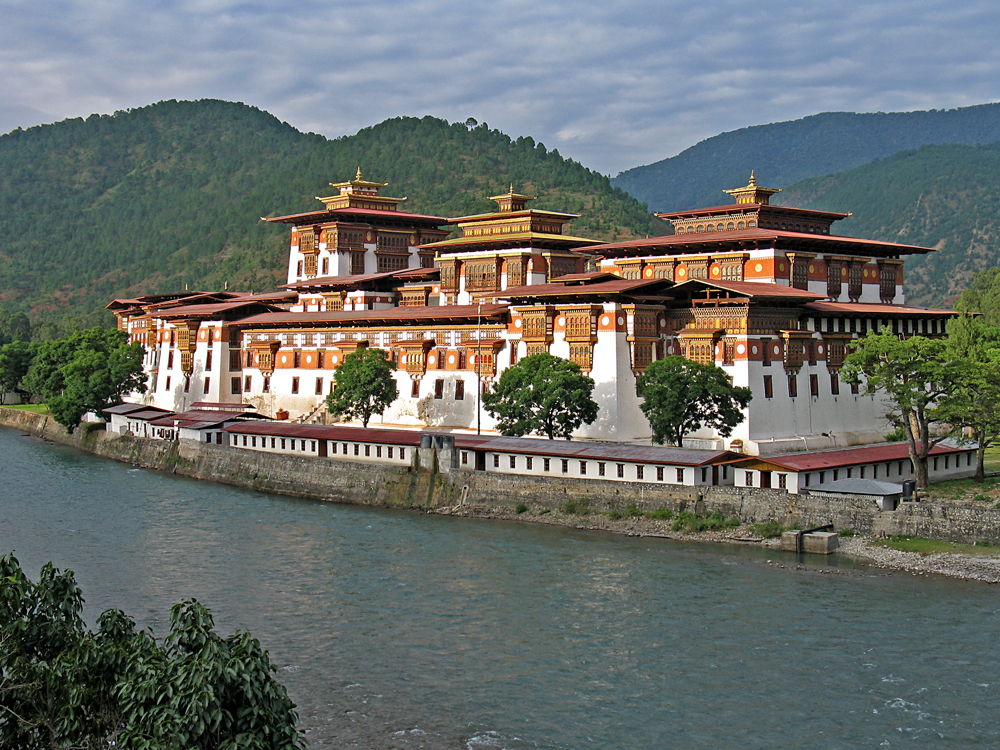
Punakha Dzong (monastery) along a river at 1350 meters (4430 feet). The building was constructed in 1637 and has suffered numerous fires and earthquake damage over the centuries. |
|
|
 |
|
|
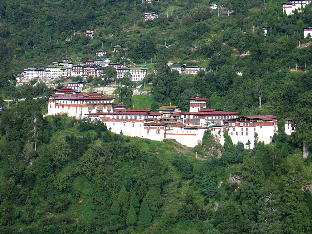
The large monastery at Trongsa at an altitude of 2200 meters (7220 feet) was first established in 1543 and major construction started in 1647. There was a major earthquake in 1897 and rebuilding since then. |
|
|
 |
|
 |
|
|
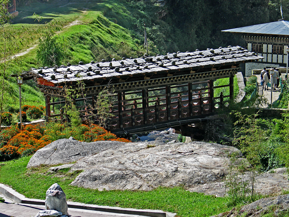
Bridge at the entrance to Trongsa Dzong. |
|
|
|
 |
|
|
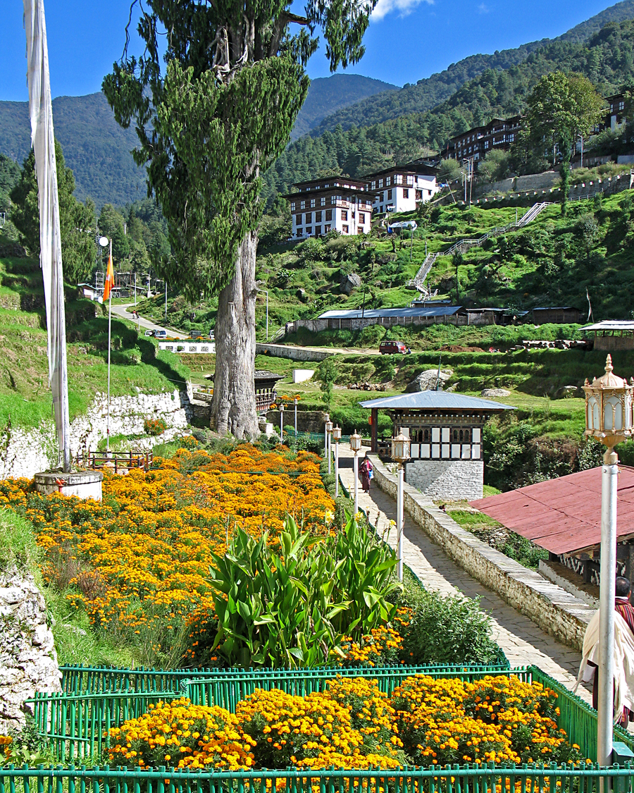
Along the walkway to Trongsa Dzong. |
|
|
 |
|
|
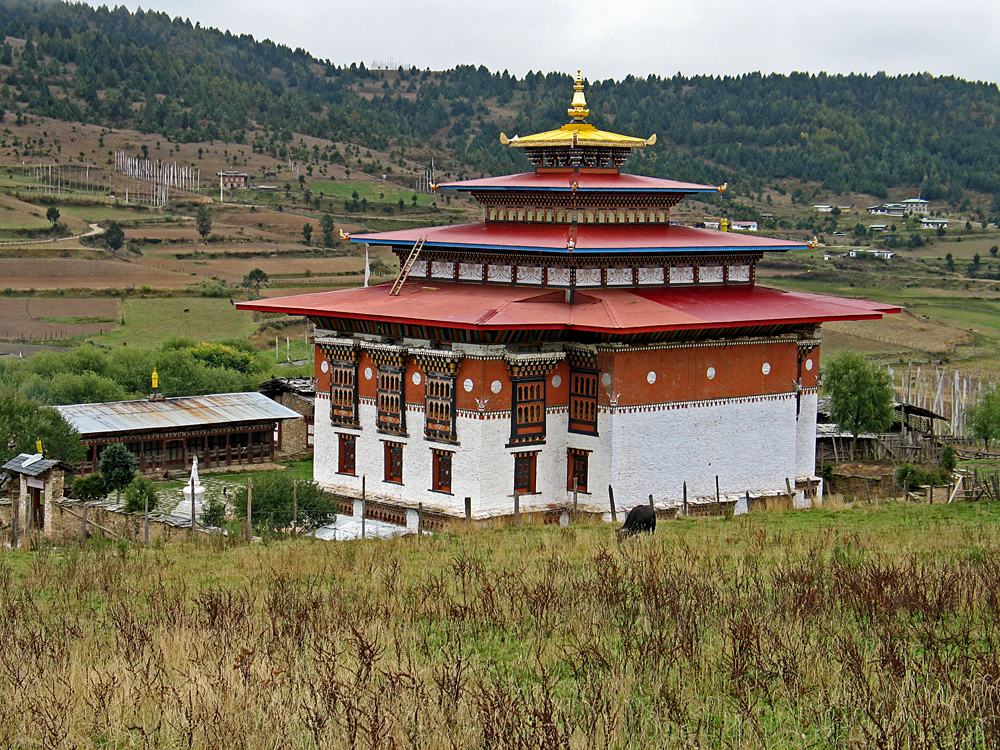
Small temple in the mountain town of Ura. |
|
|
 |
|
|
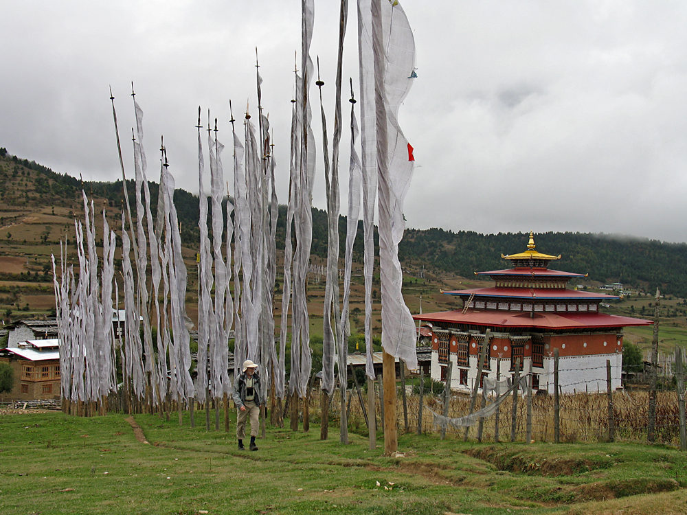
A trail along prayer flags by Ura temple. |
|
|
 |
|
|
|
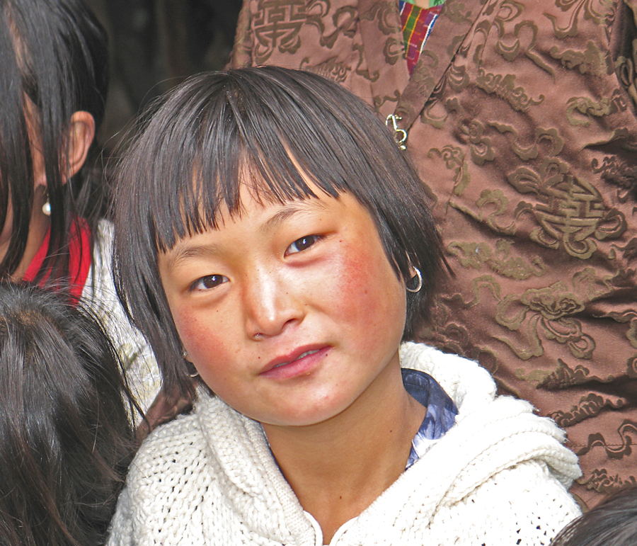
Young boy at a festival near Jakar. |
|
|
 |
|
|
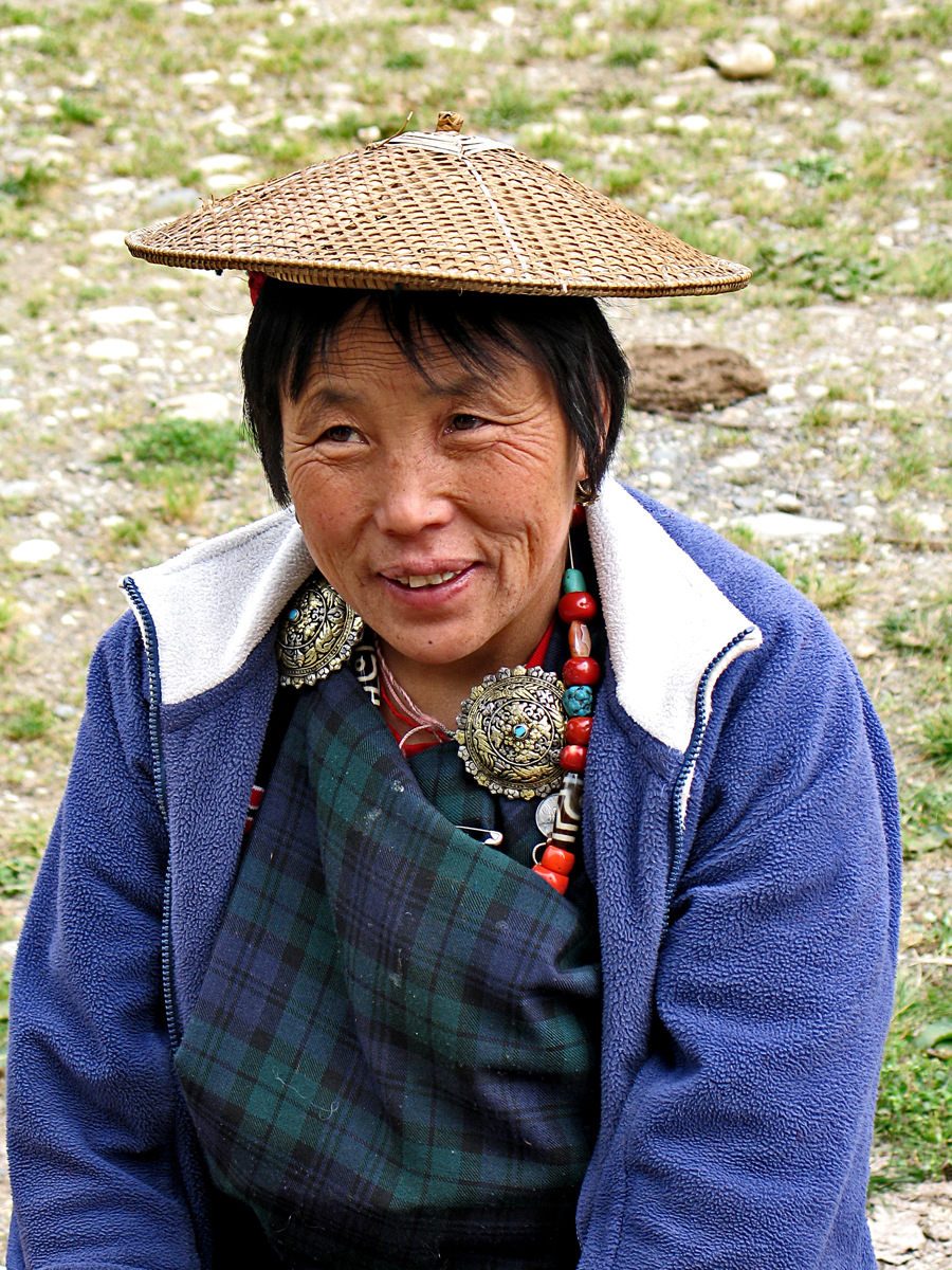
Woman in the village of Ura. |
|
|
 |
|
|
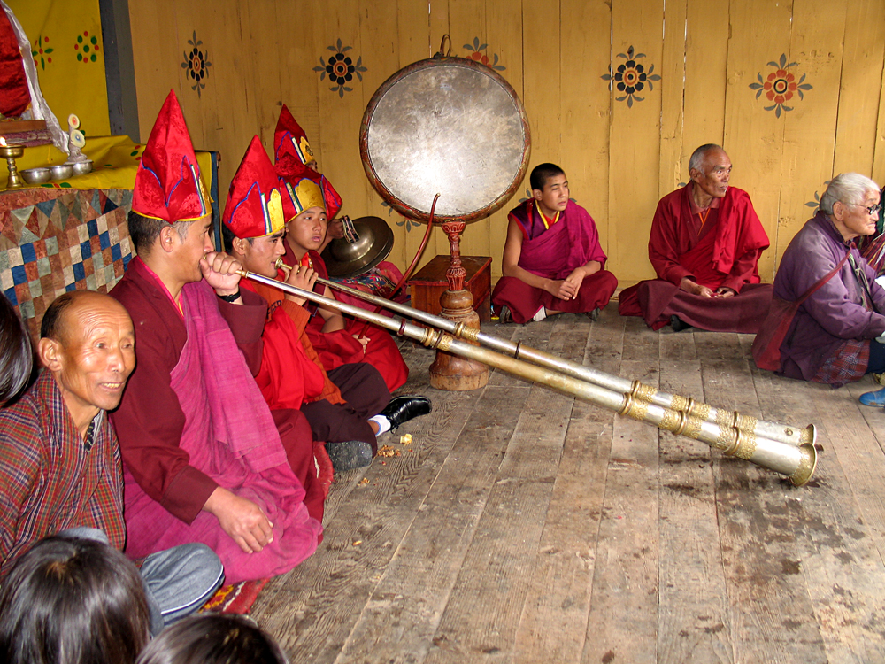
Ceremonial horns at a festival near Jakar. |
|
|
 |
|
|
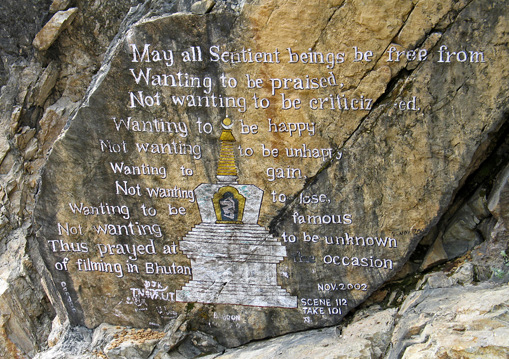
Somewhere along the mountain roads where a film was made about Bhutan in 2002. |
|
|
|
 |
|
|
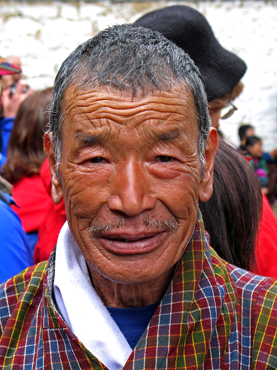
Man attending festival near Jakar. |
|
|
|
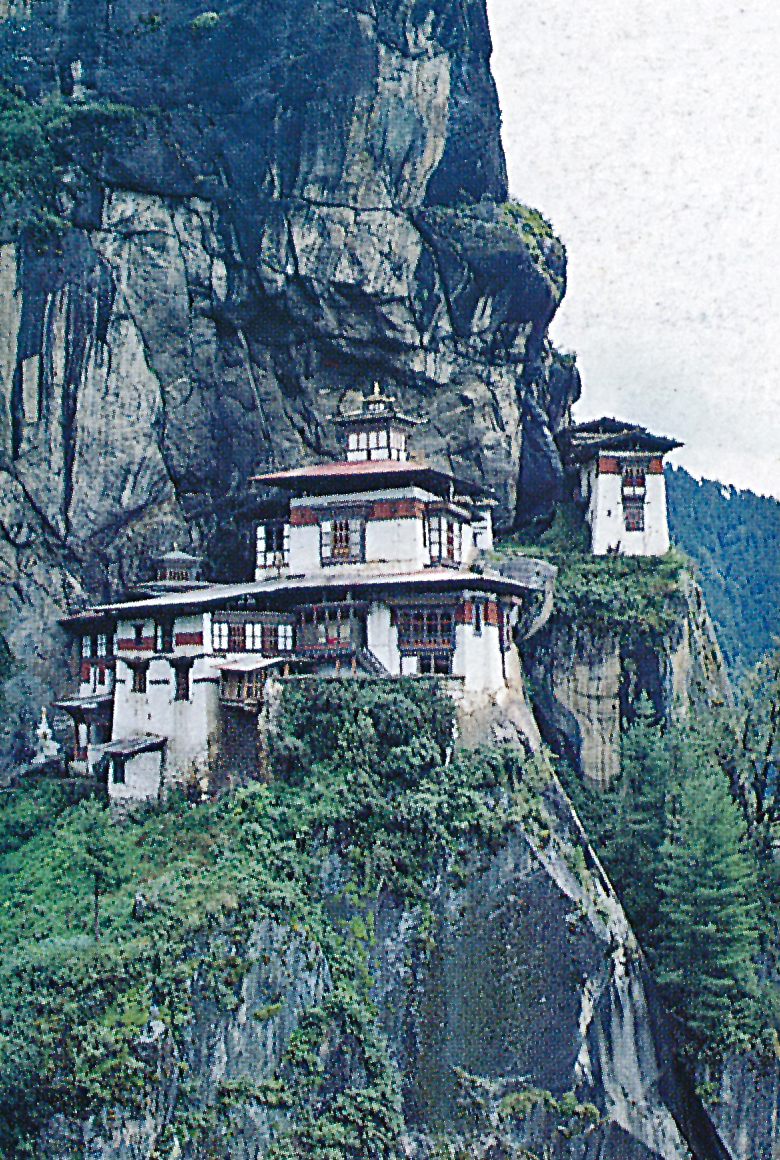
A photo of Taktshang in about 1990. The rebuilt monastery is very close in appearance. |
|
|
|
|
|
|
|
|
|
|
|
|
|
|
|
|
|
|
|
|
|
|
|
|
|
|
|
|
|
|
|
|
|
|
|