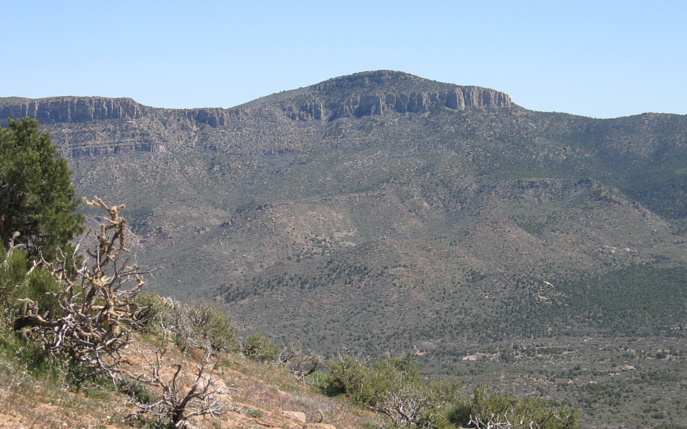
Grand Wash Cliffs High Point, Mohave County, Arizona
Located on BLM land, Elevation = 6784 ft., 2068 meters
|
Grand Wash Cliffs High Point, Mohave County, Arizona
Located on BLM land, Elevation = 6784 ft., 2068 meters |
||||||||
|
||||||||
| View of the north side of the highest peak in the Grand Wash Cliffs. View from Iron Mountain. The peak can be climbed from this valley on a route cross-country up the west side. Another approach is from the east side across Indian land which may have some locked gates. The relevant topo map is called Quartermaster Canyon SW (1:24,000 scale). | ||||||||
|
||||||||
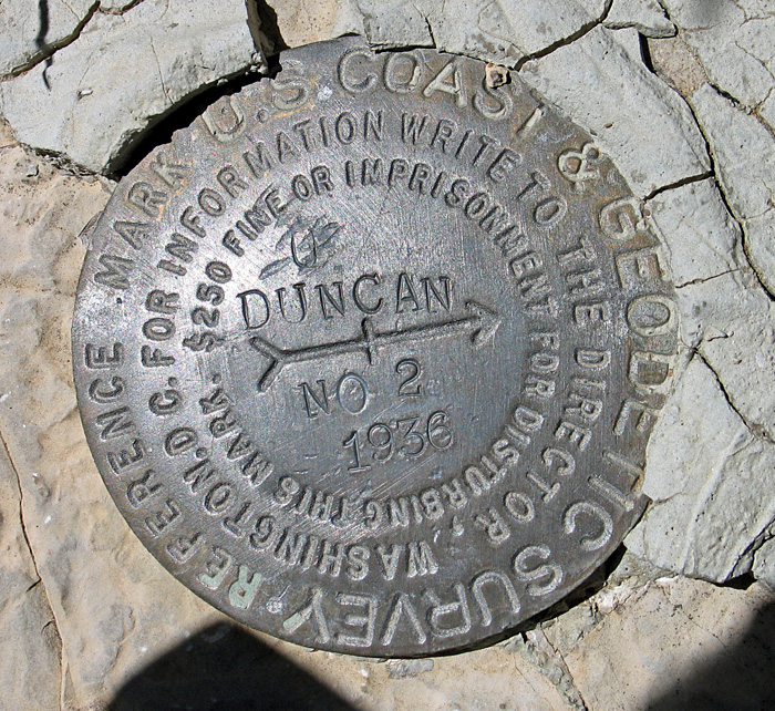
| The primary benchmark is named Duncan and was missing. This reference mark was placed in 1936. Benchmark datasheet | ||||||||